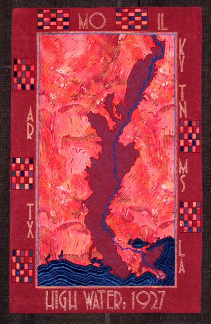
This is a partial map of the US from Cairo, Illinois to the mouth of the Mississippi River, showing the extent of the devastating flood of 1927, in which my parents (as teenagers) were caught.
Mom was washing blackberries in the Bayou Teche when the levee broke. Every time she turned back to the levee to wash additional berries, the water had climbed higher.
My Dad spent the four months of the flood paddling the family pirogue to feed the livestock who were taking shelter in the barn's loft. Both families had taken refuge with relative in Lafayette, part of Louisiana's higher-in-elevation Prarie Terrace.
A huge excess of rain and subsequent drainage in the Mississippi River basin was the cause of the flood. Levees above and below New Orleans and Baton Rouge were breached on purpose in order to protect those cities from flooding.
It was thought that poor, rural areas could better withstand the flooding. The flood was the single greatest cause of the Black migration to the North. My own family suffered great losses. Before the flood they were owners of large tracts of land. After, they mostly became tenant farmers.
I was inspired to make this quilt after reading Rising Tide by John Barry, whose permission I received to use a map of the extent of the flood.